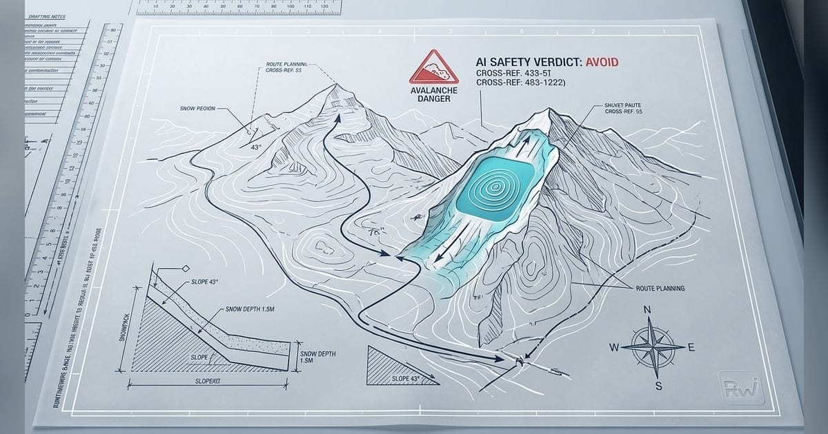
Highloop LLC's Strata has put a high-stakes claim into a native iOS app: backcountry route planning should end with a plain-English safety verdict rather than another pile of map layers.
Strata says it reads avalanche bulletins, slope angle, aspect and live weather for a route, then returns a go, watch or avoid call. The app is live as Strata Outdoors on the App Store, where Apple lists Highloop LLC as the developer and seller, the category as Navigation, the size as 43.3 MB and the iOS requirement as iOS 17.0 or later.
The human behind Strata remains unusually obscured for a product asking users to trust an AI-assisted outdoor safety call. Strata's site identifies Highloop LLC and describes the project as a small independent studio where "the same hands that ship the design ship the code and answer the email." Neither the homepage nor the App Store listing names a founder. That absence leaves the product itself, its caveats and its data practices doing most of the trust-building.
The bet: fewer tabs before a dangerous decision
Strata's sharpest idea is consolidation. Backcountry planning often means bouncing among avalanche forecasts, slope-angle maps, weather models, trail maps, fire data and a messaging plan for the group. Strata says it brings those inputs into one trip view, with smart route discovery, curated routes, search across mapped trails, a 9-tile conditions ribbon, waypoints, overnight camps, stacked descents, crew locations, one-tap SOS and tour recaps.
The product page says Strata draws from Avalanche.org bulletins, including CAIC and NWAC, plus USGS 3DEP elevation data, Open-Meteo, NIFC fire perimeters, OpenStreetMap and Wikipedia. Its AI safety verdict runs through Anthropic's Claude, according to Strata, and fuses avalanche bulletin data, slope angle, aspect and live weather into the go, watch or avoid call.
The paid feature set shows how Highloop is trying to make a safety-first app into a subscription business. Strata's pricing page says planning routes and reading safety verdicts are free. Strata Pro costs $59.99 per year and adds the snap-to-trail route builder, downloadable offline map packs, unlimited saved routes and trip reports. The App Store also lists Strata Pro at $59.99.
The route builder is the technical center of the Pro pitch. Strata says it uses a precomputed graph and A* pathfinding to snap waypoints to trail geometry, then vets the line against slope angle, aspect and current avalanche danger. That is a narrow subscription wedge: keep the safety analysis free, charge the users who want faster and cleaner route construction.
The safety caveat is part of the product
Strata's own copy knows the liability line. The homepage says, "Strata informs your decisions - it doesn't make them for you." That sentence matters more than the AI branding. Avalanche risk is an applied field problem, not a content-summarization problem. A route can look acceptable against a forecast and still turn dangerous because of wind , local terrain traps, weak-layer behavior, group dynamics or a decision made above treeline with a storm moving in.
Strata's pitch does not claim to replace field judgment. It claims to make the pre-trip work legible quickly enough that users can spot the obvious no-go factors before committing to a line. The product example on the homepage shows Tamarack Peak in the Tahoe backcountry with a watch verdict for wind slab on N-NE aspects, considerable danger above 9,500 feet, a 34-degree max slope and a safer SE alternative under 32 degrees. That example is product copy, not independently verified route guidance, but it shows the interface Highloop wants users to trust: one short verdict, the lead hazard and the route change that would reduce exposure.
Strata's own copy and policy pages emphasize restraint with user data. The homepage explains that route-safety analysis runs through Anthropic's Claude as a data processor that never trains on your data, and the site says it does not sell, share, or use your data for advertising, nor set tracking cookies or analytics pixels. Maps are downloadable for offline use so the app keeps working with no signal.
Apple's App Store privacy section is broader and more cautious. It says Highloop indicated Strata may collect precise location, email address, name, other user content, user ID, crash data and performance data, and Apple notes that this information is developer-provided and not verified by Apple. For an app built around live location, SOS and route history, those categories are expected. They still deserve scrutiny because location trails in the backcountry can reveal home patterns, routines, sensitive destinations and group relationships.
There is also a platform mismatch worth reading literally. Strata's homepage says "Now on iPhone & iPad." Apple's App Store listing labels Strata Outdoors "Only for iPhone" and lists iPhone compatibility requiring iOS 17.0 or later. Until Highloop clarifies the discrepancy in the product surfaces, the App Store listing is the cleaner source for what users can install.
Strata enters a category already moving past static maps
Strata is arriving in a crowded outdoor-navigation market where the incumbents and specialists are already pushing beyond raw maps. CalTopo remains a power-user planning tool, with stackable layers, slope-angle shading, SNOTEL snow-depth data, satellite imagery, water gauges, public lands, real-time collaboration and offline use. Dawn Patrol is built specifically for winter touring and markets ATES terrain advisories and forecast route guidance.
The closest startup analogue may be AspectAvy, which says it combines data from U.S. avalanche centers, real-time weather and user observations to map avalanche risk onto high-resolution LiDAR terrain. Strata's distinction is the explicit verdict layer. It wants to translate a stack of conditions into a five-second decision aid.
The broader consumer outdoor apps are moving in the same direction, though with less avalanche-specific risk language. Strava announced hiking features on June 11th, 2026, including route discovery, route building, off-route alerts, offline routes, route following on Apple Watch and device sync. AllTrails has been adding integrations with AI assistants. The category is shifting from map as reference to map as planner, guide and recorder.
Strata pushes that shift into a more consequential corner of the market. A hiking route recommendation can waste an afternoon if it is wrong. An avalanche verdict can shape whether a group crosses a slope. Highloop's founder-light, studio-first presentation makes the product feel small and personal, which can help early users believe someone accountable is close to the work. The same presentation also raises the bar for proof. Strata will need users to believe that its independent studio can maintain data pipelines, handle location privacy, explain AI outputs and resist turning a safety product into another subscription funnel.
For now, Strata is a clear founder-style bet even without a named founder: build the tool the spreadsheet-and-five-app shuffle failed to provide, keep the safety call outside the paywall, and charge for the workflow around it. In backcountry software, that is a cleaner business model than selling ads against location data. It also puts the hardest claim at the center of the product: whether an AI-backed app can make a dangerous decision easier to understand without making it feel easier than it is.