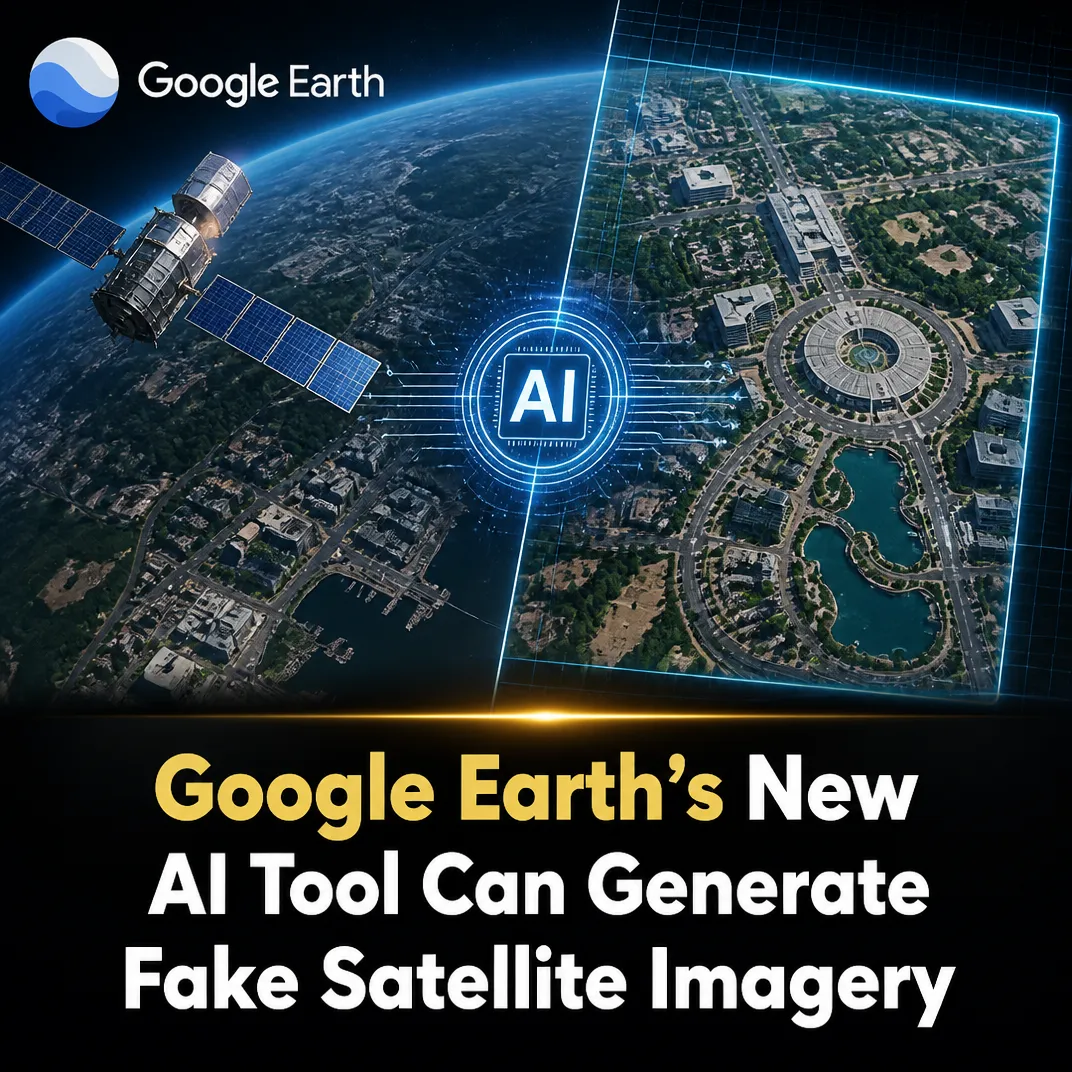
August 1, 2026, (Inside AI) — Google has launched a new feature in Google Earth that lets users generate AI-powered visualizations layered over satellite imagery, sparking immediate warnings from disinformation researchers and open-source intelligence experts. The tool, called “create image,” uses the company’s Nano Banana 2 image-generation technology to produce synthetic scenes in seconds, drawing on Google Earth’s vast repository of satellite, aerial, and 3D-mapping data.
Released on Thursday, the feature is designed for creative and practical applications, such as visualizing historical events or planning real estate projects. But its debut has ignited a fierce debate about the weaponization of a platform long considered a cornerstone of digital verification. Google Earth has served for two decades as a trusted reference for journalists, human rights investigators, and fact-checkers, making the introduction of fabricated imagery particularly alarming.
Digital investigations expert Henk Van Ess captured the core tension, stating:
“Google spent two decades building a reference point that the world relies on for verification, and has now introduced a feature capable of fabricating content.” Henk Van Ess, digital investigations expert
Van Ess argued that the danger lies not in the sophistication of the fakes, but in their association with the map itself. Such forgeries inherit credibility from the platform on which they are created, he said, making them potent tools for deception even if they contain obvious flaws.
Brady Africk, a research analyst at the American Enterprise Institute who specializes in satellite imagery analysis, warned that the tool lowers the barrier for producing convincing fake satellite images that can spread rapidly online and mislead the public. He noted that the growing prevalence of AI-generated fakes could erode public trust in satellite imagery and complicate the work of journalists and researchers who rely on such data for verification.
The mechanism behind the tool is straightforward: users zoom into any location, prompt the system, and receive an AI-generated image within seconds. This integration of generative AI into a widely used mapping platform marks a significant escalation in the manipulation of geospatial data. Unlike standalone image generators, Google Earth’s “create image” feature embeds synthetic content directly into a trusted cartographic context, amplifying its potential for harm.
Watermarks and the Limits of Detection #
In response to the backlash, Google said on X that all images created with the feature include SynthID digital watermarks, invisible markers embedded in content generated by its AI tools. The company added that users can verify the presence of a SynthID watermark by asking its Gemini chatbot. However, digital watermarking remains a fragile defense. Research from the University of Maryland has shown that such watermarks can be removed or degraded through common image manipulations like cropping, compression, or screenshotting (invisible watermarks are vulnerable to removal attacks).
Moreover, the verification process requires users to actively check for watermarks using a separate AI tool, a step unlikely to be taken by casual viewers on social media. This gap between technical safeguards and real-world behavior underscores a persistent challenge in AI governance: detection mechanisms often fail to keep pace with the speed and scale of misinformation.
A Pattern of Trust Erosion #
The controversy echoes earlier incidents where AI-generated content infiltrated trusted platforms. In 2023, a synthetic image of a Pentagon explosion briefly moved financial markets after being shared by verified accounts on X. The Google Earth case is more insidious because the platform itself provides the authoritative backdrop. As open-source intelligence practitioners have long noted, the power of satellite imagery lies in its perceived objectivity; introducing AI fabrications directly into that stream risks poisoning the well for all users.
Google has not disclosed whether it will limit the tool’s availability in conflict zones or during breaking news events, nor has it outlined any content moderation policies specific to geospatial fakes. The company’s AI Principles commit to avoiding harm and upholding scientific rigor, but critics argue that releasing such a feature without robust safeguards contradicts those commitments.
For now, the “create image” tool remains live, placing the burden of verification on users and third-party researchers. As AI-generated content becomes indistinguishable from authentic data, the line between reference and fabrication grows perilously thin.